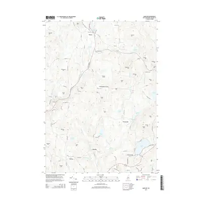
2015 Map of Marlow
USGS Topo · Published 2015About this map
Marlow and Munsonville anchor this map of Cheshire County, where the Ashuelot River carves its way through a terrain of high hills and scattered ponds. The landscape is defined by its early industrial and agricultural footprint, with landmarks such as Woods Mill and Greenes Landing indicating a history of resource utilization. Genealogists can identify key family-named locations including the Joslin Cem and Jefts Cem, while several high points like Pitcher Mtn and Hubbard Hill dominate the skyline. The transport network reveals a mix of old routes like Old Newport RD and specialized pathways such as Corey Mine Rd, illustrating the historical connectivity between small settlements like Leominster Corner and Ellisville. To the south, the clear expanse of Granite Lake serves as a major geographical feature near the border of Sullivan.
Find a feature on this map
121 named features on this map. Tap any name to fly to it.
Don’t see what you’re looking for? This feature index may not catch every label — zoom into the map to look around manually.
Map Details
Editions of this 2015 Marlow Map
This is the sole edition of this map. No revisions or reprints were ever made.
Other maps of this area

1898 · Monadnock
USGS Topo · 1:62,500

1898 · Keene
USGS Topo · 1:62,500

1927 · Bellows Falls
USGS Topo · 1:48,000

1930 · Lovewell Mountain
USGS Topo · 1:62,500

1930 · Bellows Falls
USGS Topo · 1:62,500

1932 · Keene
USGS Topo · 1:62,500
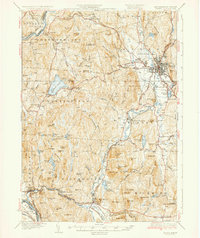
1935 · Keene
USGS Topo · 1:62,500

1936 · Monadnock
USGS Topo · 1:62,500

1942 · Keene
USGS Topo · 1:125,000

1942 · Lovewell Mountain
USGS Topo · 1:62,500