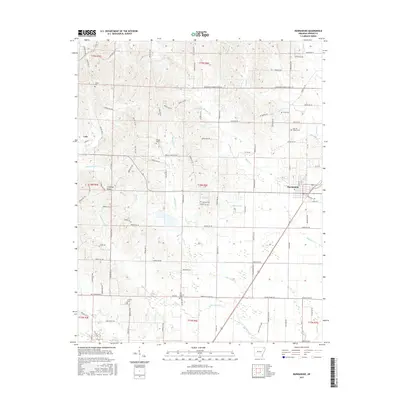
2017 Map of Marmaduke
USGS Topo · Published 2017About this map
Crowleys Ridge rises above the alluvial landscape of Greene County, serving as a prominent geographical anchor for the town of Marmaduke and the smaller settlement of Lafe. The topography here is defined by a dense network of watercourses, including Hurricane Cr, Slavens Cr, and Henderson Cr, which carve through the terrain east of the ridge. The St Louis Southwestern RR cuts a straight path through Marmaduke, illustrating the historical reliance on rail for transporting the region's agricultural output.
Find a feature on this map
113 named features on this map. Tap any name to fly to it.
Don’t see what you’re looking for? This feature index may not catch every label — zoom into the map to look around manually.
Map Details
Editions of this 2017 Marmaduke Map
This is the sole edition of this map. No revisions or reprints were ever made.
Other maps of this area

1935 · Rector
USGS Topo · 1:62,500

1935 · Knobel
USGS Topo · 1:62,500

1940 · Gainesville
USGS Topo · 1:62,500

1940 · Marmaduke
USGS Topo · 1:62,500

1941 · Knobel
USGS Topo · 1:62,500

1957 · Poplar Bluff
USGS Topo · 1:250,000

1958 · Marmaduke
USGS Topo · 1:62,500

1958 · Gainesville
USGS Topo · 1:62,500

1958 · Rector
USGS Topo · 1:62,500

1959 · Poplar Bluff
USGS Topo · 1:250,000