Loading...
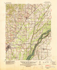
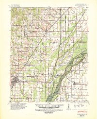
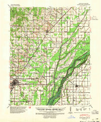
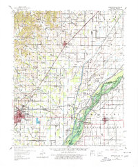
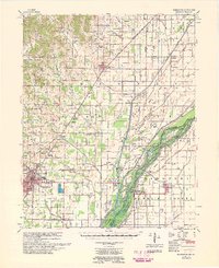
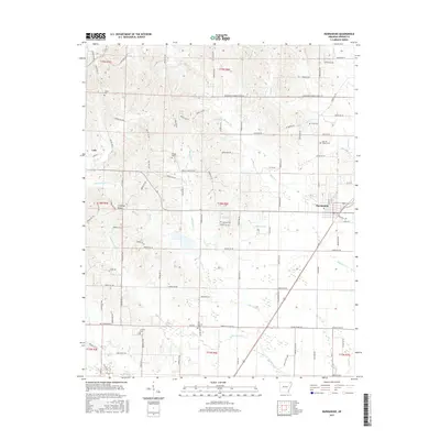
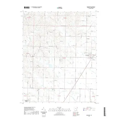
Loading map...1940 Map of Marmaduke
USGS Topo · Published 1946About this map
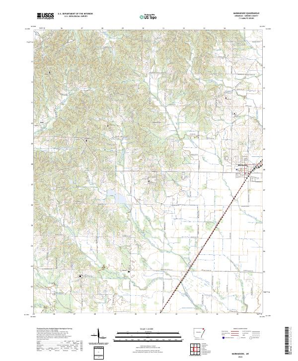
The St Francis River forms a complex boundary between Arkansas and Missouri, defining a landscape of islands, sloughs, and an extensive network of drainage ditches. This 1940s-era survey reveals the heavy engineering of the lowlands, where St Louis Ditch, Pemiscot Ditch, and Seneca Ditch were cut to manage the wet terrain. The map records several historical meander lines from 1845, 1847, and 1848, showing how the river's path once shifted through areas like Bone Island and Indian Hill Island.
Find a feature on this map
109 named features on this map. Tap any name to fly to it.
Don’t see what you’re looking for? This feature index may not catch every label — zoom into the map to look around manually.
Map Details
Date Portrayed1940
Date Published1946
PublisherU.S. Geological Survey
Map TypeTopographic
Scale1:62,500
Physical Dimensions17.9 x 21.8 inches
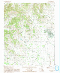
Editions of this 1940 Marmaduke Map
3 editions found
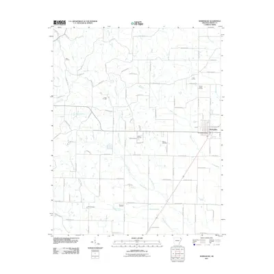
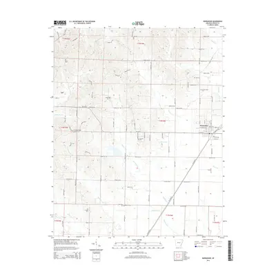
Historical Maps of Paragould Through Time
9 maps found
Featured Locations
Source Details
SourceU.S. Geological Survey
CopyrightPublic Domain