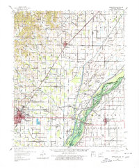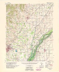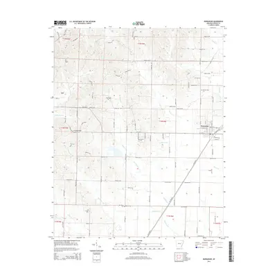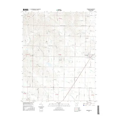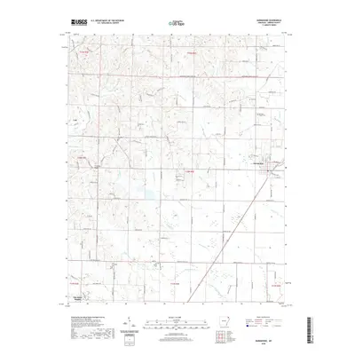
1940 Map of Marmaduke
USGS Topo · Published 1954About this map
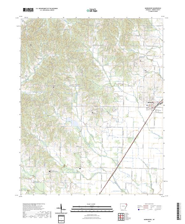
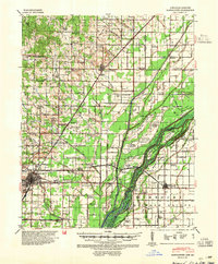
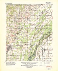
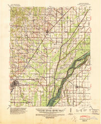
Paragould anchors the southwestern corner of this survey, where the St Louis Southwestern Ry serves as a primary transit corridor through the lowlands of northeast Arkansas. The landscape is defined by the shifting course of the St Francis River, which creates a complex network of named islands such as Indian Hill Island, Gum Island, and Upper Panther Island. These riparian features are further complicated by historical property markers like the Meander Line 1845, reflecting the fluid nature of the border between Arkansas and Missouri during this era.
Find a feature on this map
107 named features on this map. Tap any name to fly to it.
Don’t see what you’re looking for? This feature index may not catch every label — zoom into the map to look around manually.
Map Details
Editions of this 1940 Marmaduke Map
3 editions found
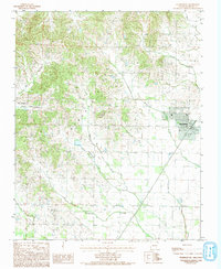
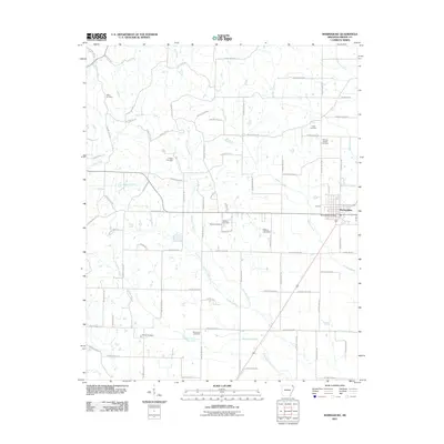
Historical Maps of Paragould Through Time
9 maps found