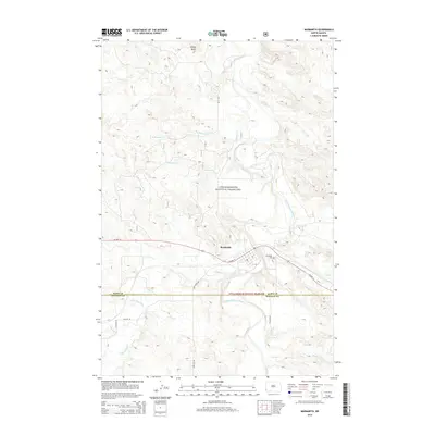
2014 Map of Marmarth
USGS Topo · Published 2014About this map
Marmarth stands as the primary settlement on this North Dakota landscape, situated along the southern banks of the Little Missouri River. The town is framed by a network of drainage features, including Little Beaver Cr and Hay Cr, illustrating the rugged erosional patterns characteristic of the badlands region. To the east, Riverside Cem provides a point of genealogical interest near the river's bend.
Find a feature on this map
21 named features on this map. Tap any name to fly to it.
Don’t see what you’re looking for? This feature index may not catch every label — zoom into the map to look around manually.
Map Details
Editions of this 2014 Marmarth Map
This is the sole edition of this map. No revisions or reprints were ever made.
Other maps of this area

1953 · Miles City
USGS Topo · 1:250,000

1953 · Dickinson
USGS Topo · 1:250,000

1957 · Dickinson
USGS Topo · 1:250,000

1957 · Miles City
USGS Topo · 1:250,000

1958 · Miles City
USGS Topo · 1:250,000

1973 · Kid Creek
USGS Topo · 1:24,000

1973 · Cedar Hills
USGS Topo · 1:24,000

1980 · Pretty Butte
USGS Topo · 1:24,000

1980 · Marmarth
USGS Topo · 1:24,000

1980 · Boyce Creek West
USGS Topo · 1:24,000