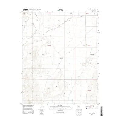
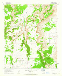
2013 Map of Marmon Ranch
USGS Topo · Published 2013About this map
Marmon Ranch and several dispersed residential sites anchor this high-desert landscape in Cibola County. The 2013 survey records a sparse settlement pattern characterized by isolated homesites such as Alberts Homestead, Romero Place, and Crane Place. These sites are linked by the rugged corridors of Indian Service Route 49 and Rte 49, tracing a history of land use in the New Mexico interior.
Find a feature on this map
29 named features on this map. Tap any name to fly to it.
Don’t see what you’re looking for? This feature index may not catch every label — zoom into the map to look around manually.
Map Details
Editions of this 2013 Marmon Ranch Map
This is the sole edition of this map. No revisions or reprints were ever made.
Other maps of this area

1917 · Cerro Verde
USGS Topo · 1:125,000

1917 · Broom Mountain
USGS Topo · 1:125,000

1954 · Socorro
USGS Topo · 1:250,000

1958 · Socorro
USGS Topo · 1:250,000
1960 · South Butte
USGS Topo · 1:24,000
1960 · Dough Mountain
USGS Topo · 1:24,000

1960 · Cerro Verde
USGS Topo · 1:24,000
1961 · Acoma Pueblo
USGS Topo · 1:24,000

1961 · Marmon Ranch
USGS Topo · 1:24,000
1961 · East Mesa
USGS Topo · 1:24,000