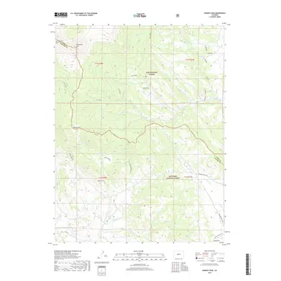
2019 Map of Marmot Peak
USGS Topo · Published 2019About this map
West Buffalo Peak and East Buffalo Peak dominate the northwestern skyline of this high-altitude landscape along the border of Park and Chaffee counties. The terrain is a complex network of drainages and meadows, where the Pike National Forest meets the San Isabel National Forest. Large open flats like Chubb Park and Davis Meadow are separated by steep ridges, providing a clear view of the area's grazing and timber heritage. The map documents the modern recreational use of the corridor via the Midland Bike Trail, which follows an old transportation grade in the southeast. Water sources are critical here, from the many branches of Salt Creek to the isolated Pony Spring, while the settlement of Aspen Arch represents one of the few named clusters of activity in this high-country environment.
Find a feature on this map
34 named features on this map. Tap any name to fly to it.
Don’t see what you’re looking for? This feature index may not catch every label — zoom into the map to look around manually.
Map Details
Editions of this 2019 Marmot Peak Map
This is the sole edition of this map. No revisions or reprints were ever made.
Other maps of this area

1889 · Leadville
USGS Topo · 1:125,000

1891 · Leadville
USGS Topo · 1:125,000

1942 · Leadville
USGS Topo · 1:125,000

1953 · Denver
USGS Topo · 1:250,000

1954 · Pueblo
USGS Topo · 1:250,000

1955 · Buena Vista
USGS Topo · 1:62,500

1956 · Garo
USGS Topo · 1:24,000

1956 · Antero Reservoir
USGS Topo · 1:24,000

1956 · Montrose
USGS Topo · 1:250,000

1957 · Denver
USGS Topo · 1:250,000