
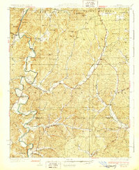
1933 Map of Marquand
USGS Topo · Published 1966About this map
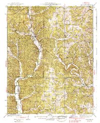
The Castor River and Crooked Creek valleys dominate this 1930s landscape, where rural life is anchored by a dense network of country schools and churches. The town of Marquand sits at a critical junction of the Missouri Pacific railroad and the river, serving as the local hub for the surrounding countryside. Deeply rooted family history is evident in the many named school districts and cemeteries, such as Snowdenville Sch, Tiptop Sch, and the Younts Cem. Extractive industry is present through the Starkey Mine and Cozean Mine, indicating the mineral interests that often supplemented the region's agricultural character. Small settlements like Bessville, Lodge, and Glenallen dot the rail line and creek bottoms, reflecting a period when small-scale timber and farming communities were still the primary social centers of Madison and Bollinger counties.
Find a feature on this map
79 named features on this map. Tap any name to fly to it.
Don’t see what you’re looking for? This feature index may not catch every label — zoom into the map to look around manually.
Map Details
Editions of this 1933 Marquand Map
2 editions found

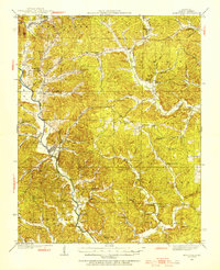
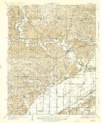
Other maps of this area

1910 · Higdon
USGS Topo · 1:62,500

1923 · Perryville
USGS Topo · 1:62,500

1924 · Perryville
USGS Topo · 1:62,500
1930 · Coldwater
USGS Topo · 1:62,500

1933 · Marble Hill
USGS Topo · 1:62,500
1934 · Greenville
USGS Topo · 1:62,500

1934 · Advance
USGS Topo · 1:62,500
1935 · Zalma
USGS Topo · 1:62,500
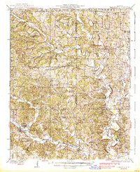
1937 · Marble Hill
USGS Topo · 1:62,500
1938 · Marquand
USGS Topo · 1:62,500