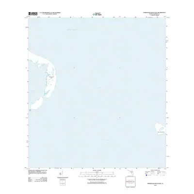
2012 Map of Marquesas Keys East
USGS Topo · Published 2012About this map
The Marquesas Keys atoll and the surrounding waters of Monroe County define this maritime landscape in the early twenty-first century. This section of the archipelago features the eastern edge of the main circular island group, where Mooney Harbor provides a protected marine basin west of the smaller Gull Keys. To the east across the Boca Grande Channel lies the isolated Boca Grande Key, positioned at the threshold between the shallow Gulf of Mexico to the north and the deeper Straits of Florida to the south. The map illustrates the natural geography of these uninhabited keys, highlighting the complex shoreline and the vast expanse of open water that separates these remote outposts from the mainland and larger keys.
Find a feature on this map
7 named features on this map. Tap any name to fly to it.
Don’t see what you’re looking for? This feature index may not catch every label — zoom into the map to look around manually.
Map Details
Editions of this 2012 Marquesas Keys East Map
This is the sole edition of this map. No revisions or reprints were ever made.
Other maps of this area

1921 · Key West
USGS Topo · 1:62,500

1943 · Cottrell Key
USGS Topo · 1:24,000

1963 · Cottrell Key
USGS Topo · 1:24,000
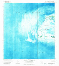
1971 · Marquesas Keys West
USGS Topo · 1:24,000
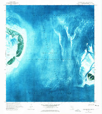
1971 · Marquesas Keys East
USGS Topo · 1:24,000
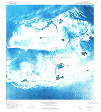
1972 · Cottrell Key
USGS Topo · 1:24,000

1983 · Dry Tortugas
USGS Topo · 1:100,000

1983 · Key West
USGS Topo · 1:100,000

1989 · Key West
USGS Topo · 1:250,000

1989 · Dry Tortugas
USGS Topo · 1:250,000