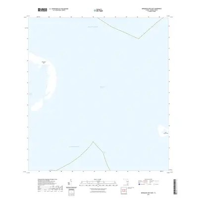
2021 Map of Marquesas Keys East
USGS Topo · Published 2021About this map
Marquesas Keys and Boca Grande Key represent the primary landmasses in this maritime survey, marking a vital transition between major bodies of water. The sheet captures the meeting of the Gulf of Mexico and the Atlantic Ocean, separated by the deep waters of the Boca Grande Channel. This environment is characterized by its remote limestone outcroppings and shallow protected waters like Mooney Harbor, which provide insight into the natural state of the Florida Keys' western reaches. The presence of the Straits of Florida along the southern edge highlights the area's significance for navigation and marine geography. This 2021 update documents the exact contours of these low-lying islands, offering a precise record of the shoreline before shifting sea levels or tropical weather events further alter the coastline of Monroe County.
Find a feature on this map
7 named features on this map. Tap any name to fly to it.
Don’t see what you’re looking for? This feature index may not catch every label — zoom into the map to look around manually.
Map Details
Editions of this 2021 Marquesas Keys East Map
This is the sole edition of this map. No revisions or reprints were ever made.
Other maps of this area

1921 · Key West
USGS Topo · 1:62,500

1943 · Cottrell Key
USGS Topo · 1:24,000

1963 · Cottrell Key
USGS Topo · 1:24,000
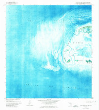
1971 · Marquesas Keys West
USGS Topo · 1:24,000
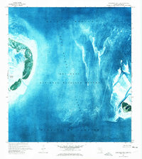
1971 · Marquesas Keys East
USGS Topo · 1:24,000
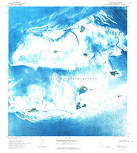
1972 · Cottrell Key
USGS Topo · 1:24,000

1983 · Dry Tortugas
USGS Topo · 1:100,000

1983 · Key West
USGS Topo · 1:100,000

1989 · Key West
USGS Topo · 1:250,000

1989 · Dry Tortugas
USGS Topo · 1:250,000