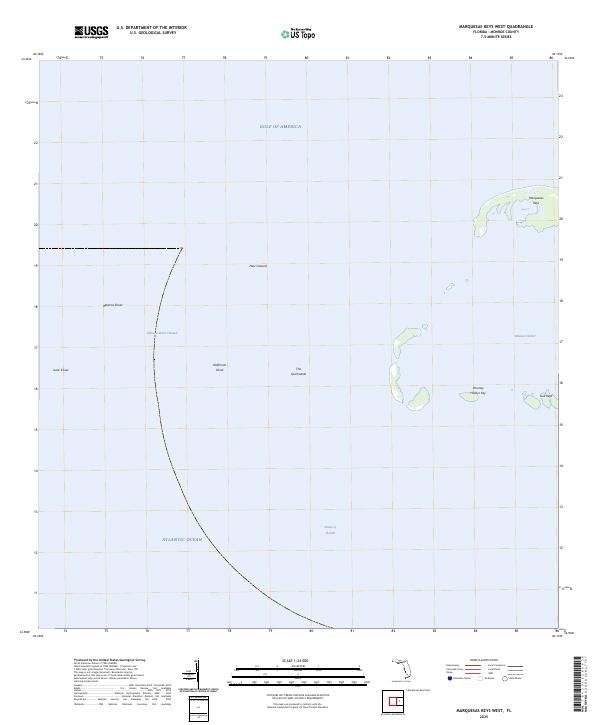
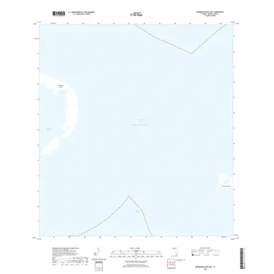
2025 Map of Marquesas Keys West
USGS Topo · Published 2025About this map
The Marquesas Keys anchor the northeastern corner of this maritime landscape, where the shallow waters of the Gulf of America meet the deep currents of the Straits of Florida. This specific quadrant reveals a complex system of submerged hazards and migratory shoals that have long challenged navigators in the Florida Keys. Notable seafloor features include Isaac Shoal, Halfmoon Shoal, and the shifting sediment of The Quicksands.
Find a feature on this map
13 named features on this map. Tap any name to fly to it.
Don’t see what you’re looking for? This feature index may not catch every label — zoom into the map to look around manually.
Map Details
Editions of this 2025 Marquesas Keys West Map
This is the sole edition of this map. No revisions or reprints were ever made.
Other maps of this area
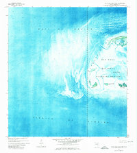
1971 · Marquesas Keys West
USGS Topo · 1:24,000
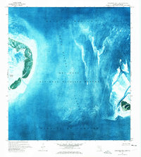
1971 · Marquesas Keys East
USGS Topo · 1:24,000

1983 · Dry Tortugas
USGS Topo · 1:100,000

1989 · Dry Tortugas
USGS Topo · 1:250,000
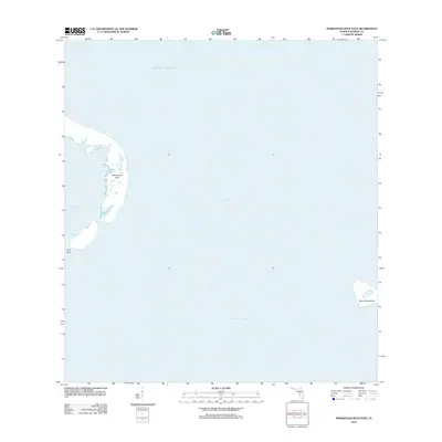
2012 · Marquesas Keys East
USGS Topo · 1:24,000
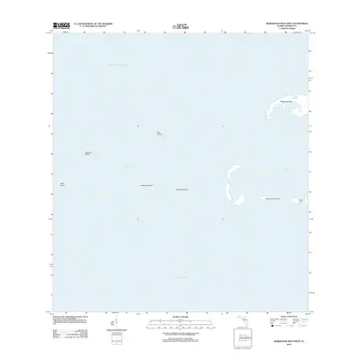
2012 · Marquesas Keys West
USGS Topo · 1:24,000
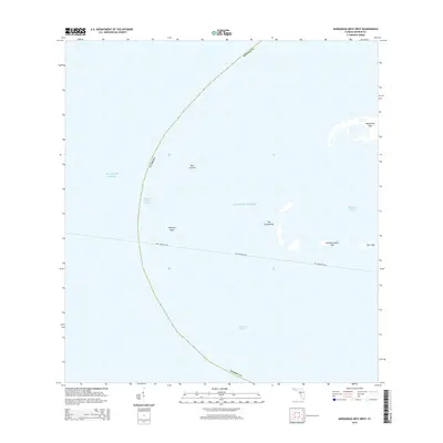
2015 · Marquesas Keys West
USGS Topo · 1:24,000
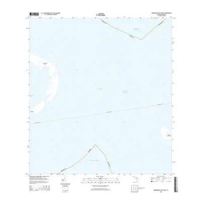
2015 · Marquesas Keys East
USGS Topo · 1:24,000
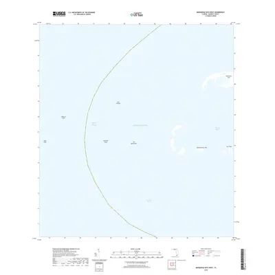
2018 · Marquesas Keys West
USGS Topo · 1:24,000
2018 · Marquesas Keys East
USGS Topo · 1:24,000