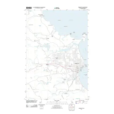
2011 Map of Marquette
USGS Topo · Published 2011About this map
Marquette serves as the focal point for this Lake Superior coastal region, where industrial infrastructure meets the natural ruggedness of the Upper Peninsula. The shoreline is defined by its maritime and shipping legacy, featuring the Marquette Lighthouse and the Lower Harbor Breakwall Lighthouse, alongside major operations such as the Marquette Dock Company Coal Dock and the Marquette Dock Association. Inland, the terrain rises sharply toward Sugarloaf Mountain and Mount Mesnard, while the Dead River and Carp River carve through the landscape, creating notable features like Dead River Falls and Lower Carp River Falls.
Find a feature on this map
111 named features on this map. Tap any name to fly to it.
Don’t see what you’re looking for? This feature index may not catch every label — zoom into the map to look around manually.
Map Details
Editions of this 2011 Marquette Map
This is the sole edition of this map. No revisions or reprints were ever made.
Other maps of this area

1907 · Marquette
USGS Topo · 1:62,500

1932 · Harvey NW
USGS Topo · 1:31,680

1932 · Harvey NE
USGS Topo · 1:31,680

1952 · Sands
USGS Topo · 1:24,000

1952 · Ishpeming
USGS Topo · 1:62,500

1952 · Gwinn
USGS Topo · 1:62,500

1952 · Palmer
USGS Topo · 1:24,000

1953 · Marquette NW
USGS Topo · 1:24,000

1953 · Negaunee
USGS Topo · 1:24,000
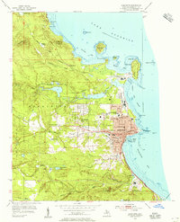
1954 · Marquette
USGS Topo · 1:24,000