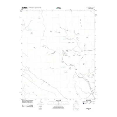
2010 Map of Marquez
USGS Topo · Published 2010About this map
Marquez sits at the center of this 2010 landscape, where the high desert terrain is deeply etched by a network of drainage systems like Arroyo Hondo and Cañon Seco. The area is characterized by dramatic landforms including Santa Rosa Peaks and the massive Mesa Marquez, punctuated by distinctive landmarks such as Cerro Marquez and Cerrito Negro. Small settlements and naming conventions like Las Carretas and Mesita Redondita reflect the local heritage of this part of New Mexico. The Marquez Canyon Mine represents the industrial footprint in the canyons, while water sources such as Laguna Santiago, Laguna Encina, and Moses Spring highlight the critical points of hydration in an otherwise arid environment. Travel through the region is marked by significant crossings including Gallegos Bridge and Puerto Bridge, connecting the mesas and valleys via routes like Indian Service Rd.
Find a feature on this map
59 named features on this map. Tap any name to fly to it.
Don’t see what you’re looking for? This feature index may not catch every label — zoom into the map to look around manually.
Map Details
Editions of this 2010 Marquez Map
This is the sole edition of this map. No revisions or reprints were ever made.
Other maps of this area
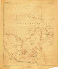
1883 · Mt. Taylor
USGS Topo · 1:250,000
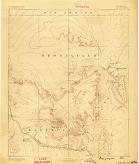
1886 · Mt. Taylor
USGS Topo · 1:250,000
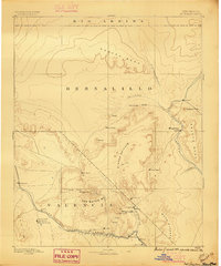
1892 · Mt. Taylor
USGS Topo · 1:250,000
1899 · Mt. Taylor
USGS Topo · 1:250,000
1957 · Moquino
USGS Topo · 1:24,000
1957 · Seboyeta
USGS Topo · 1:24,000
1957 · Arch Mesa
USGS Topo · 1:24,000
1958 · Albuquerque
USGS Topo · 1:250,000
1961 · Marquez
USGS Topo · 1:24,000
1961 · Cerro Tinaja
USGS Topo · 1:24,000