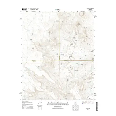
2013 Map of Marquez
USGS Topo · Published 2013About this map
Marquez sits at the heart of a complex geological landscape where the boundaries of McKinley, Cibola, and Sandoval counties converge. This high-altitude terrain is defined by a network of massive plateaus and canyons, including Mesa Marquez and the deep Cañon de Marquez. The settlement pattern follows the drainages and more accessible valleys, with the community of Puertecita and the open San Antonio Valley providing rare flat ground amidst the vertical relief of the Santa Rosa Peaks.
Find a feature on this map
58 named features on this map. Tap any name to fly to it.
Don’t see what you’re looking for? This feature index may not catch every label — zoom into the map to look around manually.
Map Details
Editions of this 2013 Marquez Map
This is the sole edition of this map. No revisions or reprints were ever made.
Other maps of this area

1883 · Mt. Taylor
USGS Topo · 1:250,000

1886 · Mt. Taylor
USGS Topo · 1:250,000

1892 · Mt. Taylor
USGS Topo · 1:250,000

1899 · Mt. Taylor
USGS Topo · 1:250,000

1957 · Moquino
USGS Topo · 1:24,000

1957 · Seboyeta
USGS Topo · 1:24,000
1957 · Arch Mesa
USGS Topo · 1:24,000

1958 · Albuquerque
USGS Topo · 1:250,000

1961 · Marquez
USGS Topo · 1:24,000

1961 · Cerro Tinaja
USGS Topo · 1:24,000