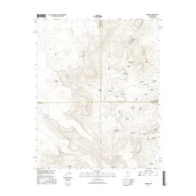
2017 Map of Marquez
USGS Topo · Published 2017About this map
Marquez sits at a critical juncture of high-desert terrain where the borders of Sandoval, McKinley, and Cibola counties converge. This 2017 survey details a landscape defined by deep arroyos and prominent mesas, notably Mesa Marquez and the Santa Rosa Peaks. The settlement patterns here are tied to the scarce but vital water sources, with numerous springs such as Ojo San Mateo, Moses Spring, and Diablo Spring scattered across the canyons.
Find a feature on this map
59 named features on this map. Tap any name to fly to it.
Don’t see what you’re looking for? This feature index may not catch every label — zoom into the map to look around manually.
Map Details
Editions of this 2017 Marquez Map
This is the sole edition of this map. No revisions or reprints were ever made.
Other maps of this area

1883 · Mt. Taylor
USGS Topo · 1:250,000

1886 · Mt. Taylor
USGS Topo · 1:250,000

1892 · Mt. Taylor
USGS Topo · 1:250,000

1899 · Mt. Taylor
USGS Topo · 1:250,000

1957 · Moquino
USGS Topo · 1:24,000

1957 · Seboyeta
USGS Topo · 1:24,000
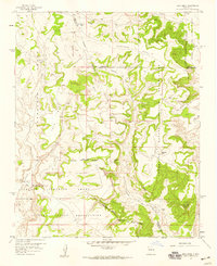
1957 · Arch Mesa
USGS Topo · 1:24,000

1958 · Albuquerque
USGS Topo · 1:250,000

1961 · Marquez
USGS Topo · 1:24,000

1961 · Cerro Tinaja
USGS Topo · 1:24,000