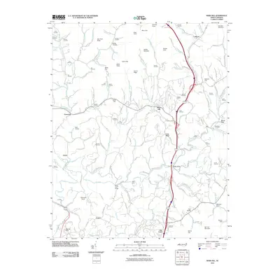
2010 Map of Mars Hill
USGS Topo · Published 2010About this map
Mars Hill sits as a central hub in this Appalachian landscape, where the town's development follows the winding paths of Ivy Creek and its many tributaries. The area is defined by a dense network of family cemeteries, such as the Sams Cemetery and Mc Elroy Cemetery, suggesting generations of local lineage tied to specific hollows and ridges like Whitt Hollow and Hamp Gap. These small burial grounds are scattered across the terrain from Petersburg to the small settlement of California in the northeast.
Find a feature on this map
122 named features on this map. Tap any name to fly to it.
Don’t see what you’re looking for? This feature index may not catch every label — zoom into the map to look around manually.
Map Details
Editions of this 2010 Mars Hill Map
This is the sole edition of this map. No revisions or reprints were ever made.
Other maps of this area

1894 · Asheville
USGS Topo · 1:125,000

1900 · Mount Mitchell
USGS Topo · 1:125,000

1901 · Asheville
USGS Topo · 1:125,000

1902 · Mount Mitchell
USGS Topo · 1:125,000

1935 · Bald Creek
USGS Topo · 1:24,000

1935 · Barnardsville
USGS Topo · 1:24,000

1935 · Craggy Pinnacle
USGS Topo · 1:24,000

1936 · Marshall
USGS Topo · 1:24,000

1936 · Sams Gap
USGS Topo · 1:24,000

1936 · White Rock
USGS Topo · 1:24,000