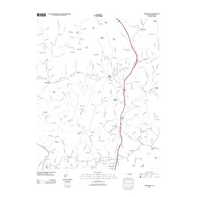
2013 Map of Mars Hill
USGS Topo · Published 2013About this map
Mars Hill serves as the focal point for this Madison County landscape, where the Blue Ridge topography dictates the layout of mountain communities and winding valley roads. The terrain is defined by prominent high points like Bill Cole Mountain, Buck Knob, and Ephraim Knob, while deep hollows such as Kent Hollow and Whitt Hollow shape the local drainage. Waterways like Gabriel Cr and Bull Cr carve through the land, providing the geography for old settlements and crossing points like the Palmer Ford Bridge. Moving toward the southern portion of the map, the landscape transitions through Long Ridge toward Forks of Ivy and Jupiter. This survey records a network of mountain gaps, including Radford Gap, Hamp Gap, and Willis Gap, which have historically facilitated movement across the ridges of western North Carolina.
Find a feature on this map
132 named features on this map. Tap any name to fly to it.
Don’t see what you’re looking for? This feature index may not catch every label — zoom into the map to look around manually.
Map Details
Editions of this 2013 Mars Hill Map
This is the sole edition of this map. No revisions or reprints were ever made.
Other maps of this area

1894 · Asheville
USGS Topo · 1:125,000

1900 · Mount Mitchell
USGS Topo · 1:125,000

1901 · Asheville
USGS Topo · 1:125,000

1902 · Mount Mitchell
USGS Topo · 1:125,000

1935 · Bald Creek
USGS Topo · 1:24,000

1935 · Barnardsville
USGS Topo · 1:24,000

1935 · Craggy Pinnacle
USGS Topo · 1:24,000

1936 · Marshall
USGS Topo · 1:24,000

1936 · Sams Gap
USGS Topo · 1:24,000

1936 · White Rock
USGS Topo · 1:24,000