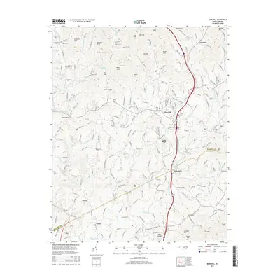
2016 Map of Mars Hill
USGS Topo · Published 2016About this map
Mars Hill Coll serves as a central landmark in this 2016 survey of Madison and Buncombe Counties, highlighting the intersection of academic life and Appalachian mountain culture. The landscape is heavily defined by family history, evidenced by the numerous small burial grounds such as Buckner Cem, Ramsey Cem, and Blackstock Cem that dot the ridges and hollows. The settlement pattern follows the drainage of Ivy Creek and its many tributaries like Bull Cr and California Cr, where the community of Forks of Ivy marks a significant local junction.
Find a feature on this map
258 named features on this map. Tap any name to fly to it.
Don’t see what you’re looking for? This feature index may not catch every label — zoom into the map to look around manually.
Map Details
Editions of this 2016 Mars Hill Map
This is the sole edition of this map. No revisions or reprints were ever made.
Other maps of this area

1894 · Asheville
USGS Topo · 1:125,000

1900 · Mount Mitchell
USGS Topo · 1:125,000

1901 · Asheville
USGS Topo · 1:125,000

1902 · Mount Mitchell
USGS Topo · 1:125,000

1935 · Bald Creek
USGS Topo · 1:24,000

1935 · Barnardsville
USGS Topo · 1:24,000

1935 · Craggy Pinnacle
USGS Topo · 1:24,000

1936 · Marshall
USGS Topo · 1:24,000

1936 · Sams Gap
USGS Topo · 1:24,000

1936 · White Rock
USGS Topo · 1:24,000