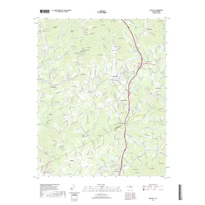
2019 Map of Mars Hill
USGS Topo · Published 2019About this map
Mars Hill sits as the central focal point of this highland landscape, where the Madison Co and Buncombe Co lines meet. The terrain is a complex network of ridges and gaps, including Grapevine Ridge and Pack Saddle, dissected by numerous branches and creeks such as Ivy Creek and Gabriel Cr. Small communities and named crossroads like Forks of Ivy, Jupiter, and Beech Glen are scattered throughout the valleys, connected by a winding road system that includes the Old Mars Hill Hwy.
Find a feature on this map
100 named features on this map. Tap any name to fly to it.
Don’t see what you’re looking for? This feature index may not catch every label — zoom into the map to look around manually.
Map Details
Editions of this 2019 Mars Hill Map
This is the sole edition of this map. No revisions or reprints were ever made.
Other maps of this area

1894 · Asheville
USGS Topo · 1:125,000

1900 · Mount Mitchell
USGS Topo · 1:125,000

1901 · Asheville
USGS Topo · 1:125,000

1902 · Mount Mitchell
USGS Topo · 1:125,000

1935 · Bald Creek
USGS Topo · 1:24,000

1935 · Barnardsville
USGS Topo · 1:24,000

1935 · Craggy Pinnacle
USGS Topo · 1:24,000

1936 · Marshall
USGS Topo · 1:24,000

1936 · Sams Gap
USGS Topo · 1:24,000

1936 · White Rock
USGS Topo · 1:24,000