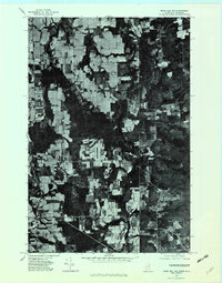
1975 Map of Mars Hill NE
USGS Topo · Published 1982About this map
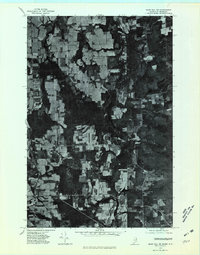
Aroostook County farmland meets the international border in this mid-1970s orthophotoquad, which reveals the stark geometric patterns of the region's agricultural fields. The settlement of Easton Center and the smaller locality of Fairmount anchor the western portion of the map, situated amidst a landscape of potato farms and woodlots. The map provides a unique visual record of the border between Maine and New Brunswick, where the dense timber of the Canadian side, including the area near Beaconsfield, contrasts with the cleared land to the west. Local landmarks like Maple Grove and the waters of Monson Pond are clearly visible through the aerial imagery. This specific format captures the exact tree lines and field boundaries as they existed during the 1975 flyover, offering genealogists and land researchers a precise look at rural Maine life near Dover Hill before modern development altered these family tracts.
Find a feature on this map
8 named features on this map. Tap any name to fly to it.
Don’t see what you’re looking for? This feature index may not catch every label — zoom into the map to look around manually.
Map Details
Editions of this 1975 Mars Hill NE Map
2 editions found
Other maps of this area

1930 · Fort Fairfield
USGS Topo · 1:48,000

1933 · Fort Fairfield
USGS Topo · 1:62,500

1936 · Mars Hill
USGS Topo · 1:48,000

1940 · Mars Hill
USGS Topo · 1:62,500

1951 · Mars Hill
USGS Topo · 1:62,500

1951 · Fort Fairfield
USGS Topo · 1:62,500

1959 · Woodstock
USGS Topo · 1:250,000

1963 · Woodstock
USGS Topo · 1:250,000
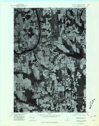
1975 · Mars Hill NW
USGS Topo · 1:24,000
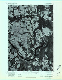
1975 · Fort Fairfield SE
USGS Topo · 1:24,000