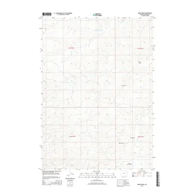
2015 Map of Marsh Draw
USGS Topo · Published 2015About this map
Herman Werner Reservoir Number 1 sits at the northern edge of this high plains landscape in Converse County, where the terrain is defined by a complex network of ephemeral drainages and intermittent streams. The geography here is a series of rolling ridges and shallow basins, carved by seasonal water flow into features like Bull Gulch and Spring Draw. The southeastern portion of the map is dominated by the namesake Marsh Draw, which converges with other dry washes such as Wallace Draw and the evocatively named Snake Charmer Draw.
Find a feature on this map
13 named features on this map. Tap any name to fly to it.
Don’t see what you’re looking for? This feature index may not catch every label — zoom into the map to look around manually.
Map Details
Editions of this 2015 Marsh Draw Map
This is the sole edition of this map. No revisions or reprints were ever made.
Other maps of this area

1955 · Newcastle
USGS Topo · 1:250,000

1955 · Arminto
USGS Topo · 1:250,000

1958 · Arminto
USGS Topo · 1:250,000

1958 · Newcastle
USGS Topo · 1:250,000

1959 · Fifty-Five Ranch
USGS Topo · 1:62,500

1959 · Edgerton
USGS Topo · 1:62,500

1959 · Ormsby Draw
USGS Topo · 1:62,500

1960 · Ross
USGS Topo · 1:62,500

1962 · Arminto
USGS Topo · 1:250,000

1979 · Bill
USGS Topo · 1:100,000