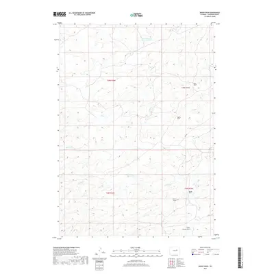
2017 Map of Marsh Draw
USGS Topo · Published 2017About this map
Herman Werner Reservoir Number 1 sits in the northern reaches of this Converse County landscape, a vital water source in an arid expanse defined by a complex network of ephemeral drainages. The terrain is deeply inscribed by these natural watercourses, including the long paths of Antelope Cr and N Sand Cr. The names given to these features suggest the cultural and natural history of the region, from the descriptive Spring Draw and Marsh Draw to the more evocative Snake Charmer Draw and Bull Gulch.
Find a feature on this map
14 named features on this map. Tap any name to fly to it.
Don’t see what you’re looking for? This feature index may not catch every label — zoom into the map to look around manually.
Map Details
Editions of this 2017 Marsh Draw Map
This is the sole edition of this map. No revisions or reprints were ever made.
Other maps of this area

1955 · Newcastle
USGS Topo · 1:250,000

1955 · Arminto
USGS Topo · 1:250,000

1958 · Arminto
USGS Topo · 1:250,000

1958 · Newcastle
USGS Topo · 1:250,000

1959 · Fifty-Five Ranch
USGS Topo · 1:62,500

1959 · Edgerton
USGS Topo · 1:62,500

1959 · Ormsby Draw
USGS Topo · 1:62,500

1960 · Ross
USGS Topo · 1:62,500

1962 · Arminto
USGS Topo · 1:250,000

1979 · Bill
USGS Topo · 1:100,000