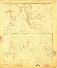
1892 Map of Marsh Pass
USGS Topo · Published 1901About this map
The high plateau of the Navajo Indian Reservation Line is captured here during an 1883 reconnaissance survey, showcasing a landscape defined by dramatic sandstone formations and essential water sources. Natural landmarks such as the Aga-thla Needle and Cha-ez-kla Rock rise above the mesa lands, while the namesake Marsh Pass serves as a critical corridor through the complex canyon systems of Skeleton Mesa and Pahute Canyon. The reliance on intermittent water in this arid territory is evident through the dense labeling of springs and tanks, including Shan-to Spring and To-hah-le-tis-te Spring. These features, along with the Moencopie Wash and Klethla Valley, trace the traditional routes and geography of the region before more modern infrastructure arrived.
Find a feature on this map
38 named features on this map. Tap any name to fly to it.
Don’t see what you’re looking for? This feature index may not catch every label — zoom into the map to look around manually.
Map Details
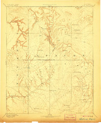
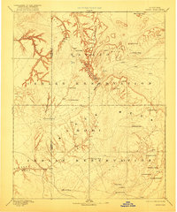
Editions of this 1892 Marsh Pass Map
4 editions found

Other maps of this area

1883 · Marsh Pass
USGS Topo · 1:250,000

1883 · Tusayan
USGS Topo · 1:250,000

1886 · Tusayan
USGS Topo · 1:250,000

1886 · Fort Defiance
USGS Topo · 1:250,000

1886 · Escalante
USGS Topo · 1:250,000

1886 · Henry Mountains
USGS Topo · 1:250,000

1886 · San Francisco Mtns
USGS Topo · 1:250,000

1886 · Abajo
USGS Topo · 1:250,000

1886 · Echo Cliffs
USGS Topo · 1:250,000

1891 · San Francisco Mtns
USGS Topo · 1:250,000