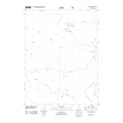
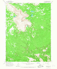
2011 Map of Marsh Peak
USGS Topo · Published 2011About this map
Marsh Peak anchors this high-elevation landscape in the Uintah mountains, where a complex network of alpine water management and glacial basins is meticulously documented. The presence of several infrastructure features, including the Upper Goose Lake Dam, Lower Goose Lake Dam, and Ashley Twin Lakes Dam, highlights the significance of this area for regional water storage and regulation. These reservoirs, alongside Hopper Lakes and Fish Lake, feed into drainage systems such as South Fork Ashley Creek and the North Fork Dry Fork.
Find a feature on this map
22 named features on this map. Tap any name to fly to it.
Don’t see what you’re looking for? This feature index may not catch every label — zoom into the map to look around manually.
Map Details
Editions of this 2011 Marsh Peak Map
This is the sole edition of this map. No revisions or reprints were ever made.
Other maps of this area

1885 · Ashley
USGS Topo · 1:250,000

1906 · Marsh Peak
USGS Topo · 1:125,000

1908 · Marsh Peak
USGS Topo · 1:125,000

1954 · Vernal
USGS Topo · 1:250,000

1958 · Vernal
USGS Topo · 1:250,000

1960 · Vernal
USGS Topo · 1:250,000
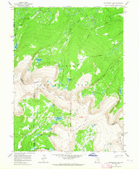
1963 · Whiterocks Lake
USGS Topo · 1:24,000
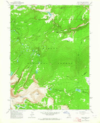
1963 · Leidy Peak
USGS Topo · 1:24,000
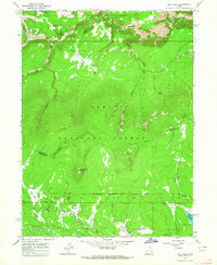
1963 · Elk Park
USGS Topo · 1:24,000
1965 · Marsh Peak
USGS Topo · 1:24,000