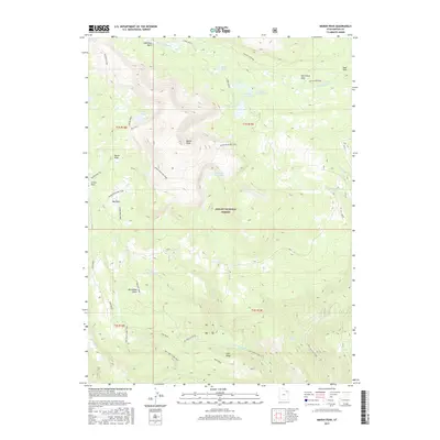
2017 Map of Marsh Peak
USGS Topo · Published 2017About this map
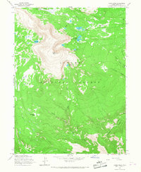
Marsh Peak dominates the high-elevation landscape of this Uintah County survey, marking a significant topographical point within the Ashley National Forest. The map documents a complex alpine hydrology where glacial basins such as Lakeshore Basin feed a network of water bodies, including Red Belly Lake, the Hopper Lakes, and Ashley Twin Lakes. These waters eventually drain into the S Fork Ashley Cr and other branches that carve through the high plateaus.
Find a feature on this map
36 named features on this map. Tap any name to fly to it.
Don’t see what you’re looking for? This feature index may not catch every label — zoom into the map to look around manually.
Map Details
Editions of this 2017 Marsh Peak Map
This is the sole edition of this map. No revisions or reprints were ever made.
Other maps of this area

1885 · Ashley
USGS Topo · 1:250,000

1906 · Marsh Peak
USGS Topo · 1:125,000

1908 · Marsh Peak
USGS Topo · 1:125,000

1954 · Vernal
USGS Topo · 1:250,000

1958 · Vernal
USGS Topo · 1:250,000

1960 · Vernal
USGS Topo · 1:250,000
1963 · Whiterocks Lake
USGS Topo · 1:24,000
1963 · Leidy Peak
USGS Topo · 1:24,000
1963 · Elk Park
USGS Topo · 1:24,000
1965 · Marsh Peak
USGS Topo · 1:24,000