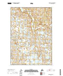
2018 Map of Marshall C-2 NW
USGS Topo · Published 2018About this map
Uninhabited wetlands and tundra dominate this remote area of the Kusilvak Census Area, where the landscape is defined by an intricate network of unnamed lakes and marshy ground. The Public Land Survey System grid lines for T19n R74w and T19n R73w divide the northern half of the quadrangle, which transitions into T18n R74w and T18n R73w to the south. This environment is typical of the Yukon Delta region, showing the complex hydrology of a landscape where land and water are constantly shifting. No permanent settlements, roads, or named trails are recorded on this sheet, leaving the surveyor's townships and ranges as the primary landmarks for navigation and land management in this isolated portion of Alaska.
Find a feature on this map
4 named features on this map. Tap any name to fly to it.
Don’t see what you’re looking for? This feature index may not catch every label — zoom into the map to look around manually.
Map Details
Editions of this 2018 Marshall C-2 NW Map
This is the sole edition of this map. No revisions or reprints were ever made.
Other maps of this area

1951 · Marshall
USGS Topo · 1:250,000
1952 · Marshall D-2
USGS Topo · 1:63,360

1952 · Marshall D-3
USGS Topo · 1:63,360

1954 · Marshall C-3
USGS Topo · 1:63,360
1954 · Marshall C-2
USGS Topo · 1:63,360

1954 · Marshall
USGS Topo · 1:250,000
2018 · Marshall C-2 NE
USGS Topo · 1:25,000
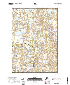
2018 · Marshall C-2 SE
USGS Topo · 1:25,000
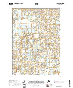
2018 · Marshall C-3 NE
USGS Topo · 1:25,000
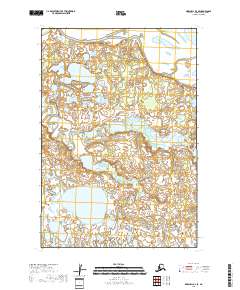
2018 · Marshall D-3 SE
USGS Topo · 1:25,000