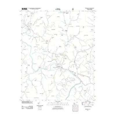
2011 Map of Marshall
USGS Topo · Published 2011About this map
Blennerhassett Island sits at the heart of this survey, where the French Broad River cuts through the steep Madison County landscape near the town of Marshall. The terrain is characterized by a dense network of family-named ridges and gaps, such as Lisenbee Ridge, Indian Grave Gap, and Roberts Mountain. This topography dictated the settlement patterns of the early 21st century, with roads like Sweetucker Branch Rd and Laughing Frog Ln following narrow valleys.
Find a feature on this map
172 named features on this map. Tap any name to fly to it.
Don’t see what you’re looking for? This feature index may not catch every label — zoom into the map to look around manually.
Map Details
Editions of this 2011 Marshall Map
This is the sole edition of this map. No revisions or reprints were ever made.
Other maps of this area

1894 · Asheville
USGS Topo · 1:125,000

1901 · Asheville
USGS Topo · 1:125,000

1935 · Hot Springs
USGS Topo · 1:24,000

1935 · Spring Creek
USGS Topo · 1:24,000

1936 · Marshall
USGS Topo · 1:24,000

1936 · Sandymush
USGS Topo · 1:24,000

1936 · Sams Gap
USGS Topo · 1:24,000

1936 · White Rock
USGS Topo · 1:24,000

1936 · Weaverville
USGS Topo · 1:24,000

1936 · Mars Hill
USGS Topo · 1:24,000