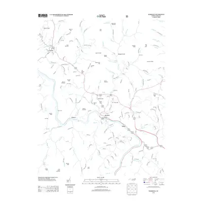
2013 Map of Marshall
USGS Topo · Published 2013About this map
The French Broad River carves a deep valley through this stretch of the Blue Ridge, where the town of Marshall serves as the seat of Madison County. This 2013 survey shows the unique riverfront layout of the community, highlighted by Blennerhassett Island sitting mid-stream. The landscape is defined by its complex topography, including notable peaks like Price Mountain and Roberts Mountain, and numerous gaps that have historically facilitated travel through the terrain, such as Mashburn Gap and Old Station Gap.
Find a feature on this map
161 named features on this map. Tap any name to fly to it.
Don’t see what you’re looking for? This feature index may not catch every label — zoom into the map to look around manually.
Map Details
Editions of this 2013 Marshall Map
This is the sole edition of this map. No revisions or reprints were ever made.
Other maps of this area

1894 · Asheville
USGS Topo · 1:125,000

1901 · Asheville
USGS Topo · 1:125,000

1935 · Hot Springs
USGS Topo · 1:24,000

1935 · Spring Creek
USGS Topo · 1:24,000

1936 · Marshall
USGS Topo · 1:24,000

1936 · Sandymush
USGS Topo · 1:24,000

1936 · Sams Gap
USGS Topo · 1:24,000

1936 · White Rock
USGS Topo · 1:24,000

1936 · Weaverville
USGS Topo · 1:24,000

1936 · Mars Hill
USGS Topo · 1:24,000