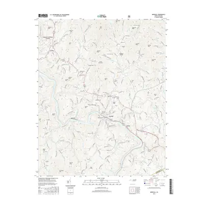
2016 Map of Marshall
USGS Topo · Published 2016About this map
The French Broad River carves a deep path through the heart of the Blue Ridge, centering on the town of Marshall and the elongated Blennerhassett Island. This terrain is defined by a dense network of high ridges and named peaks such as Price Mtn and Pilot Knob, which hem in the narrow river valley and its associated settlements like Rollins and Redmon. The landscape transitions into the Pisgah National Forest in the northwest, where elevations rise toward Mulberry Gap and Hopewell Ridge.
Find a feature on this map
194 named features on this map. Tap any name to fly to it.
Don’t see what you’re looking for? This feature index may not catch every label — zoom into the map to look around manually.
Map Details
Editions of this 2016 Marshall Map
This is the sole edition of this map. No revisions or reprints were ever made.
Other maps of this area

1894 · Asheville
USGS Topo · 1:125,000

1901 · Asheville
USGS Topo · 1:125,000

1935 · Hot Springs
USGS Topo · 1:24,000

1935 · Spring Creek
USGS Topo · 1:24,000

1936 · Marshall
USGS Topo · 1:24,000

1936 · Sandymush
USGS Topo · 1:24,000

1936 · Sams Gap
USGS Topo · 1:24,000

1936 · White Rock
USGS Topo · 1:24,000

1936 · Weaverville
USGS Topo · 1:24,000

1936 · Mars Hill
USGS Topo · 1:24,000