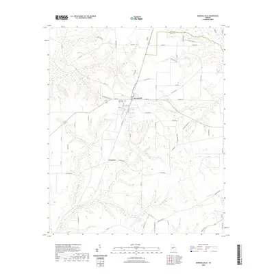
2020 Map of Marshallville
USGS Topo · Published 2020About this map
Marshallville serves as the primary hub on this recent survey, situated at the boundary between Peach and Macon counties. The town is marked by its grid of local streets like Camellia Blvd and Cotton Ave, reflecting a community grounded in the agricultural landscape of central Georgia. Nearby, the smaller settlement of Winchester sits to the southwest, connected by roads that wind through a terrain defined by complex creek systems.
Find a feature on this map
67 named features on this map. Tap any name to fly to it.
Don’t see what you’re looking for? This feature index may not catch every label — zoom into the map to look around manually.
Map Details
Editions of this 2020 Marshallville Map
This is the sole edition of this map. No revisions or reprints were ever made.
Other maps of this area

1955 · Phenix City
USGS Topo · 1:250,000

1956 · Fort Valley
USGS Topo · 1:62,500

1957 · Phenix City
USGS Topo · 1:250,000

1957 · Macon
USGS Topo · 1:250,000

1958 · Macon
USGS Topo · 1:250,000

1958 · Phenix City
USGS Topo · 1:250,000

1964 · Macon
USGS Topo · 1:250,000

1971 · Reynolds
USGS Topo · 1:24,000

1971 · Garden Valley
USGS Topo · 1:24,000

1971 · Montezuma
USGS Topo · 1:24,000