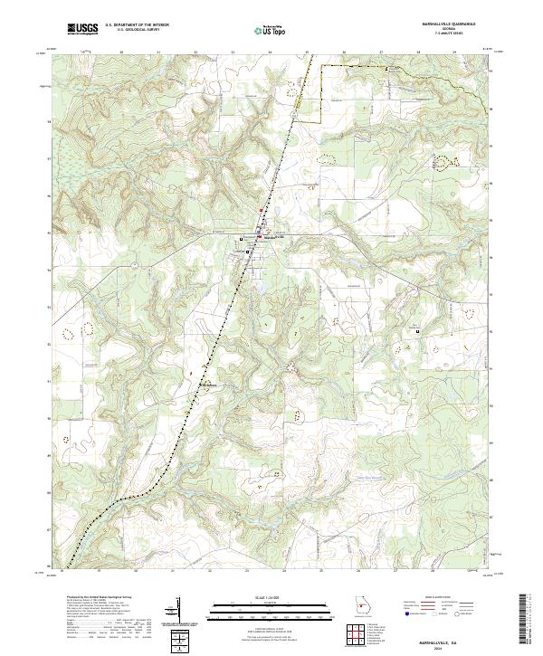
2024 Map of Marshallville
USGS Topo · Published 2024About this map
The agrarian landscape of central Georgia is centered on the town of Marshallville, situated along the boundary of Macon and Peach Counties. This contemporary documentation reflects the enduring importance of local faith and family sites, including the Saint James Christian Church and the Marshallville Cemetery. To the south, the settlement of Winchester is situated near the headwaters of several drainage systems, including Spring Hill Creek and the Saint Paul Branch.
Find a feature on this map
71 named features on this map. Tap any name to fly to it.
Don’t see what you’re looking for? This feature index may not catch every label — zoom into the map to look around manually.
Map Details
Editions of this 2024 Marshallville Map
This is the sole edition of this map. No revisions or reprints were ever made.
Other maps of this area

1955 · Phenix City
USGS Topo · 1:250,000

1956 · Fort Valley
USGS Topo · 1:62,500

1957 · Phenix City
USGS Topo · 1:250,000

1957 · Macon
USGS Topo · 1:250,000

1958 · Macon
USGS Topo · 1:250,000

1958 · Phenix City
USGS Topo · 1:250,000

1964 · Macon
USGS Topo · 1:250,000

1971 · Reynolds
USGS Topo · 1:24,000

1971 · Garden Valley
USGS Topo · 1:24,000

1971 · Montezuma
USGS Topo · 1:24,000