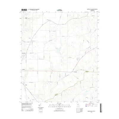
2014 Map of Marshallville SW
USGS Topo · Published 2014About this map
Hogcrawl Cr carves a winding path across this landscape, defining the southeastern boundary between Macon Co Dooly Co. This area of central Georgia is characterized by rural crossroads and small agricultural settlements like Spalding and Five Points, where Ga-26 and Ga-224 facilitate movement between family-named farmsteads. The local influence of the Mennonite community is evident through grounded identifiers such as Mennonite School Rd and Mennonite Church Rd, indicating a tightly-knit community structure. Water resources are plentiful throughout the terrain, with Horsehead Cr Lake and several smaller tributaries like Slow-Run Cr and Rogers Br feeding into the larger creek systems. Historical road networks, such as Barons Lane Rd and Fields Crossing Rd, connect legacy points like Barrons Lane and the settlement at Fields.
Find a feature on this map
69 named features on this map. Tap any name to fly to it.
Don’t see what you’re looking for? This feature index may not catch every label — zoom into the map to look around manually.
Map Details
Editions of this 2014 Marshallville SW Map
This is the sole edition of this map. No revisions or reprints were ever made.
Other maps of this area

1955 · Phenix City
USGS Topo · 1:250,000

1957 · Phenix City
USGS Topo · 1:250,000

1957 · Macon
USGS Topo · 1:250,000

1958 · Macon
USGS Topo · 1:250,000

1958 · Phenix City
USGS Topo · 1:250,000

1964 · Macon
USGS Topo · 1:250,000

1971 · Garden Valley
USGS Topo · 1:24,000

1971 · Montezuma
USGS Topo · 1:24,000

1971 · Henderson
USGS Topo · 1:24,000

1971 · Pinehurst
USGS Topo · 1:24,000