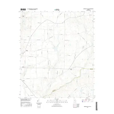
2017 Map of Marshallville SW
USGS Topo · Published 2017About this map
Agricultural lands and rural crossroads define the landscape where Macon and Dooly counties meet in central Georgia. Several small settlements including Spalding, Five Points, and Four Points dot the terrain, connected by a network of farm roads that reveal the area's local heritage, such as Mennonite Church Rd and Flint River School Rd. The drainage of the upper coastal plain is evident through the meandering paths of Hogcrawl Cr, Horsehead Cr, and Spring Cr. This survey illustrates a quiet agricultural district where named family routes like Sol Yoder Rd, Emmitt Smith Rd, and Perkins Farm Rd delineate property lines and historic land use patterns. Small water bodies like Horsehead Cr Lake and Thompson Lake punctuate the low-lying areas near the county boundary.
Find a feature on this map
67 named features on this map. Tap any name to fly to it.
Don’t see what you’re looking for? This feature index may not catch every label — zoom into the map to look around manually.
Map Details
Editions of this 2017 Marshallville SW Map
This is the sole edition of this map. No revisions or reprints were ever made.
Other maps of this area

1955 · Phenix City
USGS Topo · 1:250,000

1957 · Phenix City
USGS Topo · 1:250,000

1957 · Macon
USGS Topo · 1:250,000

1958 · Macon
USGS Topo · 1:250,000

1958 · Phenix City
USGS Topo · 1:250,000

1964 · Macon
USGS Topo · 1:250,000

1971 · Garden Valley
USGS Topo · 1:24,000

1971 · Montezuma
USGS Topo · 1:24,000

1971 · Henderson
USGS Topo · 1:24,000

1971 · Pinehurst
USGS Topo · 1:24,000