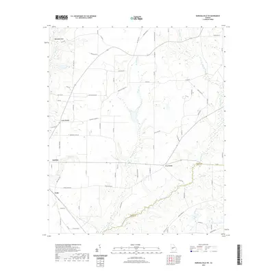
2020 Map of Marshallville SW
USGS Topo · Published 2020About this map
Agricultural lands along the Macon and Dooly county line define this central Georgia landscape. Small settlements and crossroads like Spalding, Five Points, and Fields serve as focal points for a network of rural roads, including Mennonite Church Rd and Mennonite School Rd, which reflect the community's local heritage. The terrain is intricately carved by numerous waterways, with Horsehead Cr and its tributaries such as Slow Run Cr and Spring Cr creating a distinct drainage pattern across the region. Farther south, the waters of Hogcrawl Cr and Little Cr flow toward the boundary, while Thompson Lake provides a localized water feature near the edge of the survey. The prevalence of family-named thoroughfares like Devaughn-Rumph Rd and Stanley Yodey Rd illustrates the long-standing familial ties to these farmsteads.
Find a feature on this map
73 named features on this map. Tap any name to fly to it.
Don’t see what you’re looking for? This feature index may not catch every label — zoom into the map to look around manually.
Map Details
Editions of this 2020 Marshallville SW Map
This is the sole edition of this map. No revisions or reprints were ever made.
Other maps of this area

1955 · Phenix City
USGS Topo · 1:250,000

1957 · Phenix City
USGS Topo · 1:250,000

1957 · Macon
USGS Topo · 1:250,000

1958 · Macon
USGS Topo · 1:250,000

1958 · Phenix City
USGS Topo · 1:250,000

1964 · Macon
USGS Topo · 1:250,000

1971 · Garden Valley
USGS Topo · 1:24,000

1971 · Montezuma
USGS Topo · 1:24,000

1971 · Henderson
USGS Topo · 1:24,000

1971 · Pinehurst
USGS Topo · 1:24,000