Loading...
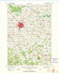
Loading map...1954 Map of Marshfield
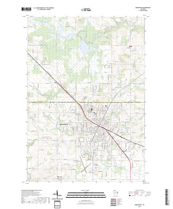
USGS Topo · Published 1969About this map
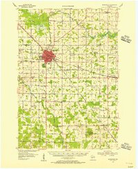
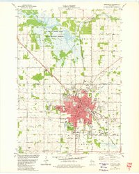
The growing city of Marshfield serves as the central hub for this mid-century survey of Wood and Marathon Counties. The urban grid is dense with institutional landmarks, including St Josephs Hospital, the University of Wisconsin Experimental Farm, and the County Asylum. Outside the city, the landscape is defined by an extensive network of rural schools—such as Woodland Echo Sch, Golden Glow Sch, and Dodge Sch (Abandoned)—reflecting the distributed dairy farming communities of the era.
Find a feature on this map
71 named features on this map. Tap any name to fly to it.
Don’t see what you’re looking for? This feature index may not catch every label — zoom into the map to look around manually.
Map Details
Date Portrayed1954
Date Published1969
PublisherU.S. Geological Survey
Map TypeTopographic
Scale1:62,500
Physical Dimensions17.03 x 21.18 inches
Editions of this 1954 Marshfield Map
2 editions found
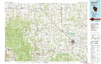
Historical Maps of Marshfield Through Time
4 maps found
Featured Locations
Source Details
SourceU.S. Geological Survey
CopyrightPublic Domain