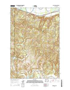
2014 Map of Marshland
USGS Topo · Published 2014About this map
Westport Slough and the winding course of the Nehalem River anchor this terrain in Columbia and Clatsop Counties. The landscape is defined by the high elevations of Clatskanie Mtn and Tunnel Mtn, separated by the Nehalem Valley to the south. Small settlements like Woodson and Marshland are situated along the northern corridor near Us-30, while Mist occupies the southeastern corner where the river bends. This 2014 survey captures a rural region of timbered ridges and narrow creek valleys, where family-named landmarks like Skunk Cabbage Ridge and Favorite Cr reflect a deep local geography. Genealogists may find interest in the Fishhawk Cem located near the southern border, while the presence of the Lower Midland Bridge and Mist-Clatskanie Hwy illustrates the modern transport network connecting these historic river and valley communities.
Find a feature on this map
60 named features on this map. Tap any name to fly to it.
Don’t see what you’re looking for? This feature index may not catch every label — zoom into the map to look around manually.
Map Details
Editions of this 2014 Marshland Map
This is the sole edition of this map. No revisions or reprints were ever made.
Other maps of this area

1919 · Mayger
USGS Topo · 1:62,500

1940 · Vernonia
USGS Topo · 1:62,500

1941 · Keasey
USGS Topo · 1:62,500

1941 · Clatskanie
USGS Topo · 1:62,500

1941 · Cathlamet
USGS Topo · 1:62,500

1943 · Vernonia
USGS Topo · 1:62,500

1943 · Keasey
USGS Topo · 1:62,500

1948 · Vancouver
USGS Topo · 1:250,000

1950 · Vancouver
USGS Topo · 1:250,000

1950 · Vancouver
USGS Topo · 1:250,000