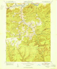
1950 Map of Marshlands
USGS Topo · Published 1950About this map
Pine Creek carves a deep valley through the high plateau at the border of Potter and Tioga Counties, serving as the primary corridor for both the Baltimore and Ohio railroad and the Roosevelt Highway. The rugged terrain of Cedar Mountain and Elephant Mtn is etched with dozens of named hollows, many bearing the surnames of early families such as Hubers, Grim, and John Smith.
Find a feature on this map
94 named features on this map. Tap any name to fly to it.
Don’t see what you’re looking for? This feature index may not catch every label — zoom into the map to look around manually.
Map Details
Editions of this 1950 Marshlands Map
This is the sole edition of this map. No revisions or reprints were ever made.
Other maps of this area
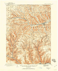
1899 · Gaines
USGS Topo · 1:62,500
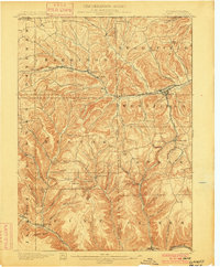
1900 · Gaines
USGS Topo · 1:62,500
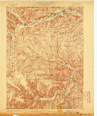
1900 · Elkland
USGS Topo · 1:62,500
1946 · Tiadaghton
USGS Topo · 1:24,000
1946 · Antrim
USGS Topo · 1:62,500
1946 · Cedar Run
USGS Topo · 1:24,000
1947 · Galeton
USGS Topo · 1:62,500
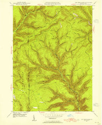
1947 · Lee Fire Tower
USGS Topo · 1:24,000
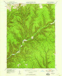
1947 · Oleona
USGS Topo · 1:24,000
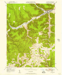
1947 · Galeton
USGS Topo · 1:24,000
Featured Places
- Gaines Township, PA
- Abbott Township, PA
- Pike Township, PA
- West Branch Township, PA
- Manhattan, Gaines Township