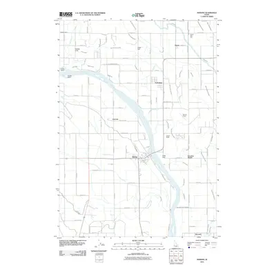
2010 Map of Marsing
USGS Topo · Published 2010About this map
Marsing anchors the southern banks of the Snake River in this 2010 depiction of the agricultural borderlands between Owyhee and Canyon counties. The landscape is defined by an intricate network of irrigation, where the Deer Flat Low Line Canal and Mora Canal support a patchwork of orchards and fields. To the west, Clarks Island and Smiths Island divide the river's flow near the rural community of Central Cove.
Find a feature on this map
101 named features on this map. Tap any name to fly to it.
Don’t see what you’re looking for? This feature index may not catch every label — zoom into the map to look around manually.
Map Details
Editions of this 2010 Marsing Map
This is the sole edition of this map. No revisions or reprints were ever made.
Other maps of this area

1892 · Silver City
USGS Topo · 1:125,000

1894 · Silver City
USGS Topo · 1:125,000

1898 · Nampa
USGS Topo · 1:125,000

1898 · Silver City
USGS Topo · 1:125,000

1955 · Boise
USGS Topo · 1:250,000

1957 · Opalene Gulch
USGS Topo · 1:24,000

1957 · Wilder
USGS Topo · 1:24,000

1957 · Sands Basin
USGS Topo · 1:62,500

1957 · Notus
USGS Topo · 1:24,000

1958 · Boise
USGS Topo · 1:250,000