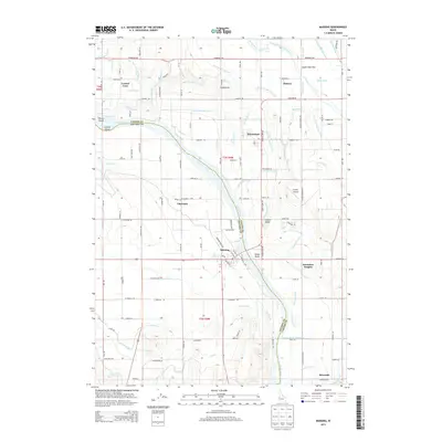
2013 Map of Marsing
USGS Topo · Published 2013About this map
The Snake River carves a deep boundary between Canyon Co and Owyhee Co in this 2013 survey of the Idaho fruit and farm lands. This region is defined by an intricate network of irrigation, featuring the Deer Flat High Line Canal, Mora Canal, and the C Line Canal, which transformed the arid landscape into a productive agricultural corridor. The settlement of Marsing serves as a central hub, situated along the river's south bank near Pickle Butte.
Find a feature on this map
129 named features on this map. Tap any name to fly to it.
Don’t see what you’re looking for? This feature index may not catch every label — zoom into the map to look around manually.
Map Details
Editions of this 2013 Marsing Map
This is the sole edition of this map. No revisions or reprints were ever made.
Other maps of this area

1892 · Silver City
USGS Topo · 1:125,000

1894 · Silver City
USGS Topo · 1:125,000

1898 · Nampa
USGS Topo · 1:125,000

1898 · Silver City
USGS Topo · 1:125,000

1955 · Boise
USGS Topo · 1:250,000

1957 · Opalene Gulch
USGS Topo · 1:24,000

1957 · Wilder
USGS Topo · 1:24,000

1957 · Sands Basin
USGS Topo · 1:62,500

1957 · Notus
USGS Topo · 1:24,000

1958 · Boise
USGS Topo · 1:250,000