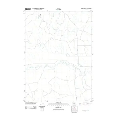
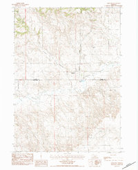
2011 Map of Marsland NW
USGS Topo · Published 2011About this map
Pine Ridge dominates the northern landscape of this Dawes County survey, marking a significant topographical transition in the Nebraska panhandle. The area is defined by the winding course of the Niobrara River, which cuts through the southern half of the quadrangle, joined by the seasonal waters of Barngrover Creek. This region reflects a sparse, rural settlement pattern characteristic of the high plains, where transportation is facilitated by named local routes such as River Rd and Diehl Rd. The map illustrates a landscape primarily shaped by its hydrology and the escarpment of the ridge, with long-standing ranch or family-named roads like Morava Dr and 700 Cherry providing the few points of human orientation across the expansive terrain.
Find a feature on this map
8 named features on this map. Tap any name to fly to it.
Don’t see what you’re looking for? This feature index may not catch every label — zoom into the map to look around manually.
Map Details
Editions of this 2011 Marsland NW Map
This is the sole edition of this map. No revisions or reprints were ever made.
Other maps of this area

1899 · Whistle Creek
USGS Topo · 1:125,000

1951 · Marsland
USGS Topo · 1:62,500

1955 · Alliance
USGS Topo · 1:250,000

1957 · Alliance
USGS Topo · 1:250,000

1958 · Alliance
USGS Topo · 1:250,000

1980 · Dead Mans Creek
USGS Topo · 1:24,000
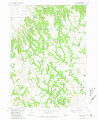
1980 · Belmont
USGS Topo · 1:24,000
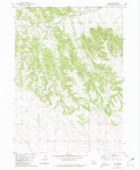
1980 · Glen
USGS Topo · 1:24,000
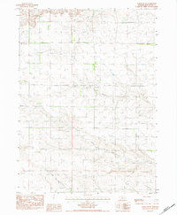
1983 · Marsland SE
USGS Topo · 1:24,000
1983 · Marsland
USGS Topo · 1:24,000