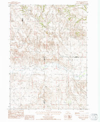
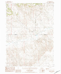
1983 Map of Marsland NW
USGS Topo · Published 1984About this map
Niobrara River carves a distinct path through the High Plains landscape of Northwest Nebraska, serving as the central hydrological feature of this 1980s survey. The terrain is defined by the significant escarpment of the Pine Ridge, where the elevation shifts markedly between the upland plateaus and the river valley below. Small drainage systems like Barngrover Creek feed into the Niobrara, illustrating the natural watershed patterns of the region. The map also reveals the intersection of three county lines, showing where Sioux, Dawes, and Box Butte counties meet. While largely rural and open, the landscape is dotted with several marked Irr Wells and scattered Wells, indicating the importance of groundwater for agriculture and livestock in this semi-arid environment.
Find a feature on this map
8 named features on this map. Tap any name to fly to it.
Don’t see what you’re looking for? This feature index may not catch every label — zoom into the map to look around manually.
Map Details
Editions of this 1983 Marsland NW Map
This is the sole edition of this map. No revisions or reprints were ever made.
Other maps of this area

1899 · Whistle Creek
USGS Topo · 1:125,000

1951 · Marsland
USGS Topo · 1:62,500

1955 · Alliance
USGS Topo · 1:250,000

1957 · Alliance
USGS Topo · 1:250,000

1958 · Alliance
USGS Topo · 1:250,000

1980 · Dead Mans Creek
USGS Topo · 1:24,000
1980 · Belmont
USGS Topo · 1:24,000
1980 · Glen
USGS Topo · 1:24,000
1983 · Marsland SE
USGS Topo · 1:24,000
1983 · Marsland
USGS Topo · 1:24,000