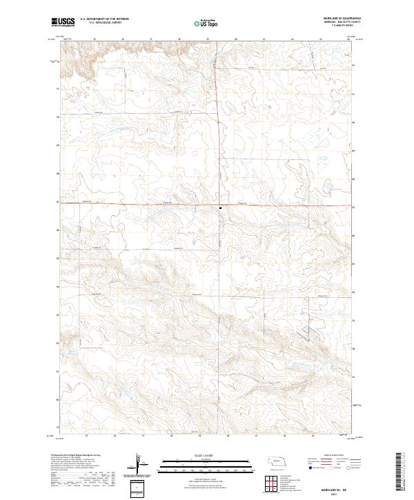
2021 Map of Marsland SE
USGS Topo · Published 2021About this map
Lawn Cem is a lonely historical landmark in this sparsely populated stretch of Box Butte County, where a system of intermittent creeks defines the high plains landscape. The drainage patterns of the N Br Point of Rocks Cr and the S Br Point of Rocks Cr converge here, illustrating the complex hydrology of the western Nebraska tablelands. In the southwestern corner, the Henrich Reservoir serves as a critical water management point for local agriculture. The map reveals a rigid section-line road grid, with routes like Dodge Rd and Co Rd 82 providing access to remote ranching operations across several townships, including t27n r51w and t28n r52w.
Find a feature on this map
23 named features on this map. Tap any name to fly to it.
Don’t see what you’re looking for? This feature index may not catch every label — zoom into the map to look around manually.
Map Details
Editions of this 2021 Marsland SE Map
This is the sole edition of this map. No revisions or reprints were ever made.
Other maps of this area

1946 · Nonpareil
USGS Topo · 1:24,000

1946 · Box Butte Reservoir West
USGS Topo · 1:24,000

1948 · Box Butte Reservoir West
USGS Topo · 1:24,000

1948 · Hemingford 4 NW
USGS Topo · 1:24,000

1948 · Nonpareil
USGS Topo · 1:24,000

1951 · Marsland
USGS Topo · 1:62,500

1951 · Kilpatrick Lake
USGS Topo · 1:62,500

1955 · Alliance
USGS Topo · 1:250,000

1957 · Alliance
USGS Topo · 1:250,000

1958 · Alliance
USGS Topo · 1:250,000