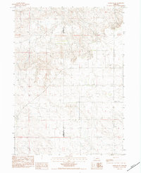
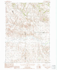
1983 Map of Marsland SW
USGS Topo · Published 1984About this map
The rugged high-plains terrain along the Sioux Co Box Butte Co boundary defines this rural landscape in western Nebraska. This 1980s-era provisional survey documents a sparsely settled region dominated by ranching and agricultural land use, evidenced by the presence of Irr Wells scattered across the township lines. The most significant historical landmark is the Bohemian Pioneer Cem, situated on the eastern edge of the quadrangle. This cemetery serves as a vital record of the central European immigrant families who settled in this part of the Panhandle, establishing homesteads in an environment that demanded resilience and careful water management. The topography is characterized by intricate drainage patterns and rising elevations that transition toward the nearby Table Mountain formations.
Find a feature on this map
6 named features on this map. Tap any name to fly to it.
Don’t see what you’re looking for? This feature index may not catch every label — zoom into the map to look around manually.
Map Details
Editions of this 1983 Marsland SW Map
This is the sole edition of this map. No revisions or reprints were ever made.
Other maps of this area

1899 · Whistle Creek
USGS Topo · 1:125,000

1951 · Marsland
USGS Topo · 1:62,500

1951 · Kilpatrick Lake
USGS Topo · 1:62,500

1955 · Alliance
USGS Topo · 1:250,000

1957 · Alliance
USGS Topo · 1:250,000

1958 · Alliance
USGS Topo · 1:250,000
1983 · Marsland SE
USGS Topo · 1:24,000
1983 · Marsland
USGS Topo · 1:24,000
1983 · Kilpatrick Lake NW
USGS Topo · 1:24,000
1983 · Marsland NW
USGS Topo · 1:24,000