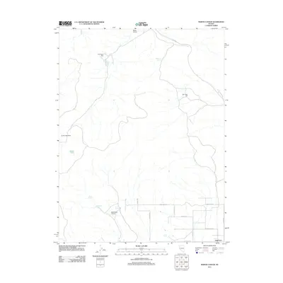
2011 Map of Martin Canyon
USGS Topo · Published 2011About this map
Gooseberry Mill and its associated Gooseberry Tailings Reservoir stand out as the primary industrial markers in this arid landscape. Located north of the more developed residential grid near Stagecoach, the mill site represents the persistent mining activity characteristic of this part of Nevada. The terrain is defined by prominent elevations such as Cinder Mountain and San Juan Hill, which separate several significant drainages including Martin Canyon and Blackhawk Canyon.
Find a feature on this map
23 named features on this map. Tap any name to fly to it.
Don’t see what you’re looking for? This feature index may not catch every label — zoom into the map to look around manually.
Map Details
Editions of this 2011 Martin Canyon Map
This is the sole edition of this map. No revisions or reprints were ever made.
Other maps of this area

1890 · Wadsworth
USGS Topo · 1:125,000

1891 · Carson
USGS Topo · 1:125,000

1891 · Wabuska
USGS Topo · 1:125,000

1891 · Reno
USGS Topo · 1:125,000

1892 · Wadsworth
USGS Topo · 1:125,000

1893 · Carson
USGS Topo · 1:125,000

1893 · Reno
USGS Topo · 1:125,000

1894 · Wadsworth
USGS Topo · 1:125,000

1894 · Wabuska
USGS Topo · 1:125,000

1950 · Virginia City
USGS Topo · 1:62,500