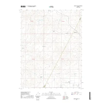
2018 Map of Martin Canyon
USGS Topo · Published 2018About this map
The Virginia Range and Flowery Range dominate this Nevada landscape, where the Storey County and Lyon County lines meet in a terrain marked by desert springs and mining-related infrastructure. In the northwestern corner, the Gooseberry Tailings Reservoir provides a clear indicator of the region's industrial activity, while numerous water sources like Blackhawk Spring, Cooney Spring, and Biddleman Spring are vital landmarks across the arid slopes.
Find a feature on this map
28 named features on this map. Tap any name to fly to it.
Don’t see what you’re looking for? This feature index may not catch every label — zoom into the map to look around manually.
Map Details
Editions of this 2018 Martin Canyon Map
This is the sole edition of this map. No revisions or reprints were ever made.
Other maps of this area

1890 · Wadsworth
USGS Topo · 1:125,000

1891 · Carson
USGS Topo · 1:125,000

1891 · Wabuska
USGS Topo · 1:125,000

1891 · Reno
USGS Topo · 1:125,000

1892 · Wadsworth
USGS Topo · 1:125,000

1893 · Carson
USGS Topo · 1:125,000

1893 · Reno
USGS Topo · 1:125,000

1894 · Wadsworth
USGS Topo · 1:125,000

1894 · Wabuska
USGS Topo · 1:125,000

1950 · Virginia City
USGS Topo · 1:62,500