Loading...
Loading map...1964 Map of Martindale
USGS Topo · Published 1966About this map
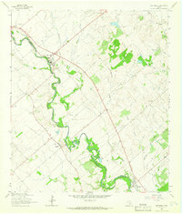
The San Marcos River snakes through the heart of this mid-1960s landscape, serving as a natural boundary between Caldwell Co and Guadalupe Co. The river's winding path dictates the placement of early agricultural settlements like Martindale, Staples, and Fentress, which are connected by a network of secondary roads and farm-to-market routes. The terrain is defined by the alluvial flats of the river valley and the dissecting drainages of Hemphill, Morrison, and Dickerson Creek.
Find a feature on this map
25 named features on this map. Tap any name to fly to it.
Don’t see what you’re looking for? This feature index may not catch every label — zoom into the map to look around manually.
Map Details
Date Portrayed1964
Date Published1966
PublisherU.S. Geological Survey
Map TypeTopographic
Scale1:24000
Physical Dimensions23 x 27 inches
Editions of this 1964 Martindale Map
Historical Maps of Martindale Through Time
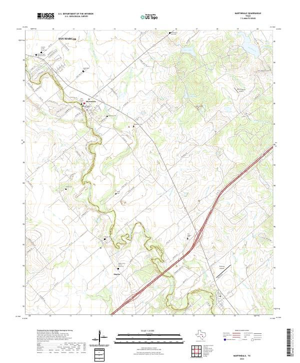
Featured Locations
Source Details
SourceU.S. Geological Survey
CopyrightPublic Domain