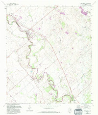
1964 Map of Martindale
USGS Topo · Published 1994About this map
The San Marcos River meanders sharply through this Central Texas landscape, serving as the defining natural boundary between Caldwell Co and Guadalupe Co. This survey, revised in the early 1990s from late 1950s data, highlights the agricultural and rural residential patterns of the area. The small riverfront communities of Martindale, Staples, and Fentress are the primary centers of activity, each characterized by their proximity to the water and a network of rural roads like Offermann Rd and Lehmann Road. For genealogists and local historians, the map is remarkably dense with burial sites, including Martindale Cem, Staples Cem, and Humphrey Cem. The river's character is further detailed with specific named points like Watkins Rapid and Scull Crossing, alongside signs of local industry such as a Gravel Pit and several oil wells.
Find a feature on this map
32 named features on this map. Tap any name to fly to it.
Don’t see what you’re looking for? This feature index may not catch every label — zoom into the map to look around manually.
Map Details
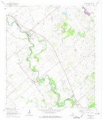
Editions of this 1964 Martindale Map
Other maps of this area

1911 · San Marcos
USGS Topo · 1:125,000

1919 · San Marcos
USGS Topo · 1:125,000

1929 · Luling
USGS Topo · 1:62,500

1930 · Lockhart
USGS Topo · 1:62,500

1930 · Seguin
USGS Topo · 1:62,500

1953 · Seguin
USGS Topo · 1:250,000

1958 · Seguin
USGS Topo · 1:250,000

1963 · Lockhart North
USGS Topo · 1:24,000
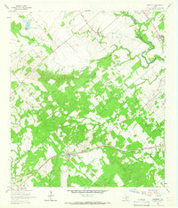
1964 · Kingsbury
USGS Topo · 1:24,000
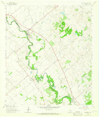
1964 · Martindale
USGS Topo · 1:24,000