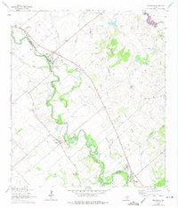
1964 Map of Martindale
USGS Topo · Published 1975About this map
The San Marcos River winds through this Central Texas landscape, acting as the primary boundary between Caldwell Co and Guadalupe Co. In the mid-1960s, the agricultural character of the region is evident in the scattered small settlements and the numerous family-named burial grounds dotting the hills. The town of Martindale serves as a local hub, situated near where Hemphill Creek and Morrison Creek converge with the river. Further downstream, the community of Staples is surrounded by several small Oil Wells and a Gravel Pit, indicating the local reliance on both the land's surface resources and subsurface mineral rights. The presence of numerous small cemeteries, such as Tuttle Cem and Humphrey Cem, provides significant value for genealogists tracing early families in the San Marcos valley.
Find a feature on this map
27 named features on this map. Tap any name to fly to it.
Don’t see what you’re looking for? This feature index may not catch every label — zoom into the map to look around manually.
Map Details
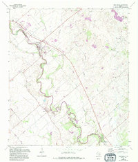
Editions of this 1964 Martindale Map
Other maps of this area

1911 · San Marcos
USGS Topo · 1:125,000

1919 · San Marcos
USGS Topo · 1:125,000

1929 · Luling
USGS Topo · 1:62,500

1930 · Lockhart
USGS Topo · 1:62,500

1930 · Seguin
USGS Topo · 1:62,500

1953 · Seguin
USGS Topo · 1:250,000

1958 · Seguin
USGS Topo · 1:250,000

1963 · Lockhart North
USGS Topo · 1:24,000
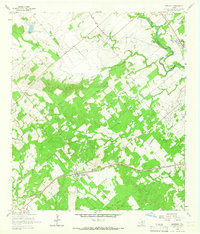
1964 · Kingsbury
USGS Topo · 1:24,000
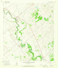
1964 · Martindale
USGS Topo · 1:24,000