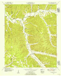
1950 Map of Martins Mills
USGS Topo · Published 1954About this map
Indian Creek and Weatherford Creek converge in this mid-century survey of the Wayne and Hardin County border. The landscape is defined by its rural valley settlements and numerous family-named landmarks, most notably Martins Mills and Lutts. This era shows a high density of community centers, including Pinhook School and several rural sanctuaries such as Grace Chapel, Greeson Chapel, and Shady Grove Church.
Find a feature on this map
71 named features on this map. Tap any name to fly to it.
Don’t see what you’re looking for? This feature index may not catch every label — zoom into the map to look around manually.
Map Details
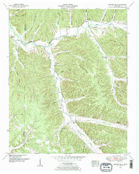
Editions of this 1950 Martins Mills Map
2 editions found
Other maps of this area

1905 · Waynesboro
USGS Topo · 1:125,000

1936 · Wolf Pit Ridge
USGS Topo · 1:24,000

1936 · Eagle Creek
USGS Topo · 1:24,000

1936 · Olivehill
USGS Topo · 1:24,000

1936 · Cypress Inn
USGS Topo · 1:24,000

1936 · Three Churches
USGS Topo · 1:24,000

1936 · Ransom Stand
USGS Topo · 1:24,000

1936 · Lowryville
USGS Topo · 1:24,000

1936 · Waynesboro
USGS Topo · 1:24,000

1936 · Martins Mills
USGS Topo · 1:24,000