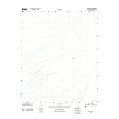
2012 Map of Martins Well
USGS Topo · Published 2012About this map
Martins Well and Johnsons Well serve as critical hydrological anchors in this arid reach of San Bernardino County. The landscape is defined by an intricate network of desert washes and ephemeral drainages that converge and diverge across the terrain, indicating a complex pattern of seasonal water flow. These named wells represent rare and vital points of interest for historical water access in the high desert, where such features often dictated the movement of travelers and the viability of local operations. The map illustrates the minimal human infrastructure of the area, focusing on the natural topography and the specific water sources that define the local geography.
Find a feature on this map
2 named features on this map. Tap any name to fly to it.
Don’t see what you’re looking for? This feature index may not catch every label — zoom into the map to look around manually.
Map Details
Editions of this 2012 Martins Well Map
This is the sole edition of this map. No revisions or reprints were ever made.
Other maps of this area

1942 · Amboy
USGS Topo · 1:250,000

1943 · Amboy
USGS Topo · 1:250,000

1943 · Turtle Mts.
USGS Topo · 1:62,500

1943 · Iron Mountains
USGS Topo · 1:62,500

1954 · Needles
USGS Topo · 1:250,000

1954 · Turtle Mountains
USGS Topo · 1:62,500

1954 · Rice
USGS Topo · 1:62,500

1956 · Needles
USGS Topo · 1:250,000

1956 · Milligan
USGS Topo · 1:62,500

1956 · Iron Mountains
USGS Topo · 1:62,500